
Call 01493 277103

Horning, 16.2 road miles north-west

Roofers in Horning

Horning is a Broads village 16.2 road miles from Great Yarmouth, set to the north-west, with part of it inside the Broads executive area. We go over the whole roof, give you the findings plainly, and find out which planning body covers your address before work starts on site.

Get a written quote

Call 01493 277103WhatsApp us

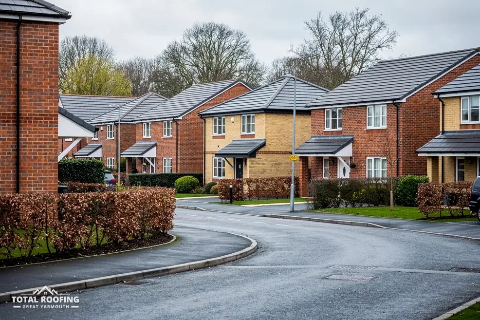
Modern brick houses with tiled roofs on a curving estate road
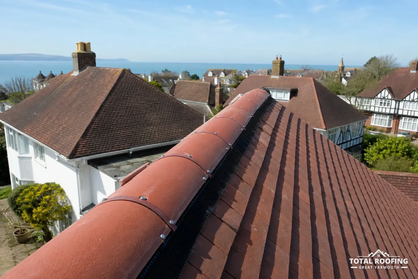
A clay ridge re-laid on a dry-fix system, clipped and screwed down

Horning's boathouse, Ivy House and the marsh

  • Ivy House, Birch and Jada

    Ivy House is listed Grade II (National Heritage List entry 1049944, first listed 24 October 1972), and Birch and Jada is Grade II too (entry 1487573). For a listed house, a change to the roof that alters its character needs listed building consent before the first tile moves.

    Four listed buildings stand near Horning, so a riverside house of some age is worth checking against the list. The council answers from the address.

  • The White Lodge boathouse

    The Boathouse Opposite the Entrance to White Lodge is listed Grade II (entry 1382130). A listed boathouse is still a building with a roof, and the same consent rule applies to changes that would affect its character as a listed building.

    Outbuildings and boathouses are surveyed like houses: covering, ridge, flashings and the timbers that carry them.

  • Crabbetts Marsh land directions

    Horning has a conservation area, shared between North Norfolk District Council and the Broads Authority. For land north-west of Crabbetts Marsh, inside the Broads executive area, an Article 4 entry sits on the Broads Authority's own table.

    That entry is not a roof control. Its table lists gates, walls, fences, temporary buildings and uses, under the GPDO, for that area only.

Horning: split planning, boathouses and land directions

  • Planning: Broads Authority inside its executive area, North Norfolk District Council outside it. Check the address.
  • Building control: North Norfolk District Council's own team, 01263 516345, for every Horning address.
  • Horning's conservation area is shared by the district council and the Broads Authority.
  • Older Article 4 directions are listed for land at Horning; ask the council whether any reach your house.
  • Highway scaffold licence: Norfolk County Council, arranged with our scaffolder.

The planning guide covers when permission is needed, and the body for your plot is asked about the address before work is booked.

Map of Horning and the places nearest to it. Map tiles © Esri; map data © OpenStreetMap contributors.

Ask it straight · Horning

Horning roofs: the Broads line, old land directions, listed boathouses and flood checks

Horning parish had 1,067 usual residents at the 2021 Census. Moorings, boathouses and riverside plots add layers to the planning picture here, and the four answers below take the parts one at a time: who decides, what the Article 4 entries say, what listing means and how flood risk is checked.

Horning house on the river: who decides planning, Authority or district?

The short answer

Both can: the Broads Authority decides planning inside its executive area, North Norfolk District Council outside it, and building control stays with the district.

A Horning plot may sit inside the Broads Authority's line or outside it, and the address decides, not the view from the window. The Authority describes itself as "the local planning authority for all land and properties within our executive area". Beyond that line North Norfolk District Council takes planning, and a plot can sit on either side of it. Two neighbouring houses can therefore have different planning bodies, with the same building control team serving both of them.

Building control is separate and unaffected. North Norfolk District Council's Building Control team, 01263 516345, or a registered building control approver deals with building regulations for every Horning address, boathouse or house. The Authority has national park status but runs no building control. For planning inside its executive area, you contact the Broads Authority (01603 610734).

With the route fixed, the survey reads the roof from ridge to eaves. Ridge and hip tiles are checked for how they are held, whether by mortar bedding or a dry-fix system, which BS 8612 covers for ridge, hip and verge. Valley linings, flashings and the underlay seen from inside the loft follow. What comes back is one written total, with anything else the survey noticed reported alongside it. For repairs that remain small, see our roof repairs page.

From address to planning route

  1. Take the full postal address and postcode
  2. Ask the Broads Authority whether the plot is inside
  3. If not, planning is the district council's
  4. Building control goes to the district either way

What do the old Article 4 directions at Horning actually cover?

The short answer

The district council's list gives names and dates but no contents; the Broads Authority's marsh entry concerns land use. Check with the council whether any applies to your house.

North Norfolk District Council's list holds several entries for land at Horning, made by Norfolk County Council in 1972 and 1973, among them one for land at Horning and Hoveton next to Ropes Hill. An Article 4 direction can remove further permitted development rights, so check with the council first about what each removes; the list gives names and dates only.

The Broads Authority's Horning entry is narrower, and it concerns that land inside the executive area only. For land north-west of Crabbetts Marsh (1972), it lists in its table "Erection of gates, walls, fences, temporary buildings and uses" under the GPDO. That table is for that area only, and none of its items concerns a house roof.

Anyone with a house near the marsh or on a moorings stretch should ask the council whether a direction reaches the plot, in the same call as the planning-boundary question. A reply in writing is worth requesting, since it can be shown to a neighbour or a surveyor later. Describe the job as a patch repair, a re-tiling or a roof window, because the answer can differ between those three. The council's answer is for your address; this page cannot give it.

Entries on Horning land, by source

  • District council: land at Horning, 1973
  • District council: land at Horning and Hoveton, 1972
  • District council: land at Horning and Ludham, 1972
  • Broads Authority: north-west of Crabbetts Marsh

Does a listed boathouse or Ivy House need consent for new tiles?

The short answer

Yes, if the work would affect the building's character. Listed building consent applies to Ivy House, Birch and Jada and the White Lodge boathouse, and the planning body grants it.

Three Horning buildings are named on the national list: Ivy House (Grade II, entry 1049944), the Boathouse Opposite the Entrance to White Lodge (Grade II, entry 1382130) and Birch and Jada (Grade II, entry 1487573). Works to a listed building, a boathouse included, need consent where they are "in any manner which would affect its character as a building of special architectural or historic interest".

Consent comes from the local planning authority for the plot, so the answer depends on the boundary again: the Broads Authority for land inside its executive area, North Norfolk District Council otherwise. Every one of the three is a secular building, so listed building consent is the route. A neighbour's house may or may not be listed, since each entry stands alone, and the council can confirm the status of your own from the postal address and the list entry number, if you have one.

A listing does not stop work. It governs how work is agreed. The survey of a listed roof reads covering, ridge, leadwork and timbers just as for any roof, and the findings are what the council or Authority is shown. Where lead flashing is involved, MyJobQuote says correctly installed lead flashing "can last for over 80 years".

Two Horning listings

Ivy House

  • Grade II, entry 1049944
  • Listed 24 October 1972
  • Consent for character changes

White Lodge boathouse

  • Grade II, entry 1382130
  • Outbuilding with a roof
  • Same consent rule

How do I check flood risk for a riverside Horning house?

The short answer

Start with GOV.UK's long-term flood risk service, which reports on the area, then use the Environment Agency's flood map for planning if an application is involved. Zones are set per site.

No flood zone is recorded for Horning as a whole, because zones belong to individual sites. The GOV.UK service called "check long term flood risk" maps the surrounding district's risk, and it says plainly that "it does not tell you how likely it is that an individual property will flood". That limit is built into the service, so a reassuring area result is not a statement about one house.

Where a planning application is involved, the Environment Agency's flood map for planning is the tool that fits a planning application. Floodline, on 0345 988 1188, is the helpline. The zone does not change how a roof is repaired, but it can change the questions asked about a ground-floor extension or a replacement boathouse, and those are a matter for the council on the specific plot. A house standing well back from the water and a boathouse at the edge of it can face quite different answers, which is why nothing is assumed from the village name.

Roof work on a riverside plot also raises the question of access. A scaffold over a footway or road needs a licence from Norfolk County Council: £178.33 for the first 28 days, then £178.33 again for each further period of 28 days, with "Please allow 7 calendar days for applications to be processed" printed on the council's page, and a new application for every scaffold put up. We arrange the licence with our scaffolder, and the scaffold itself sits inside the written quote. Where the plot is tight against the water or a boundary, the survey notes where a frame can stand before a date is set.

Myth

A clear long-term flood result means my own house cannot flood.

Fact

The service does not say how likely an individual property is to flood.

Horning roofs: pantiles, asbestos, storms and cost

What pitch does a clay pantile roof need on a Horning house?

The answer depends on the product, so each sheet is named. Sandtoft's clay Old English Pantile has a minimum pitch of 30 degrees, a headlap of 75 mm, a fixed batten gauge of 290 mm and weighs 41.6 kg per m² as laid. On Marley's sheets the Lincoln clay pantile is listed at 15 degrees and the concrete Anglia at 25 degrees, so a shallow roof needs the product matched to its pitch, and the survey measures the pitch first. Our pitched roofing page covers the options.

Is a Horning boathouse roof sheet likely to be asbestos cement?

HSE says to assume asbestos in any building "built or refurbished before 2000". Cement sheeting removed unbroken is non-licensed work; sheeting that is substantially damaged is notifiable; and "AC roofs are always fragile", so nobody should stand on one. In Norfolk, Norfolk County Council does not accept any asbestos at its recycling centres, and HSE's advice for the waste is "Use a lockable skip for asbestos".

A storm has torn a ridge off my Horning house: where do I begin?

Take pictures of the ridge and of the pieces on the ground exactly as they lie, then tell your insurer. The Financial Ombudsman Service says "we'll usually look at expert reports and photos", so a record made on the day is useful when the claim is looked at. Then the roof has to be made safe; our emergency roof repairs page explains what that covers.

What does it cost to replace a whole Horning roof?

The Which? Trusted Traders survey of 11 traders (November 2025) gives £7,000 to £21,000, excluding VAT, as the cost of replacing the whole roof on an average three-bedroom house. A Horning roof's size, covering and access move the figure, and the one written total follows the survey. A listed roof or one inside the Broads executive area may add planning steps, which the council or Authority explains.

Can I photograph my Horning roof for you before a survey visit?

Yes. Send the pictures to WhatsApp, 07880 284133, with your road name. We study the pictures and report what they show. A photograph from the ground cannot show underlay or timbers, so it is a first look that precedes the survey and never stands in for it. Tell us whether the house is by the river or a boathouse, because that shapes the access questions.

Neatishead, Hoveton and Wroxham near Horning

Horning roof, one written total

Tell us about your roof

10-year workmanship guarantee, in writing

Call WhatsApp Written quote